Ulrich Krause · 18 October 2026
Ember layering in dredged harbor bed samples reveals shifts in historical industrial activity patterns around protected bays
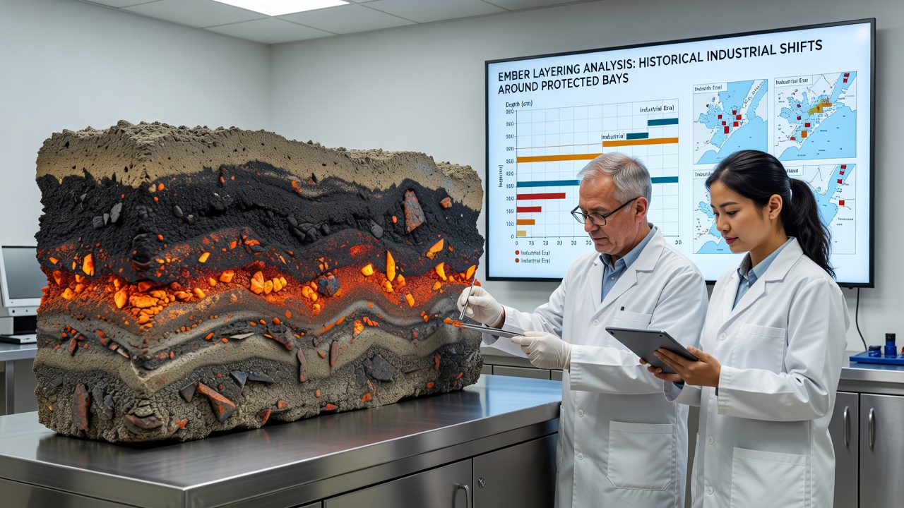
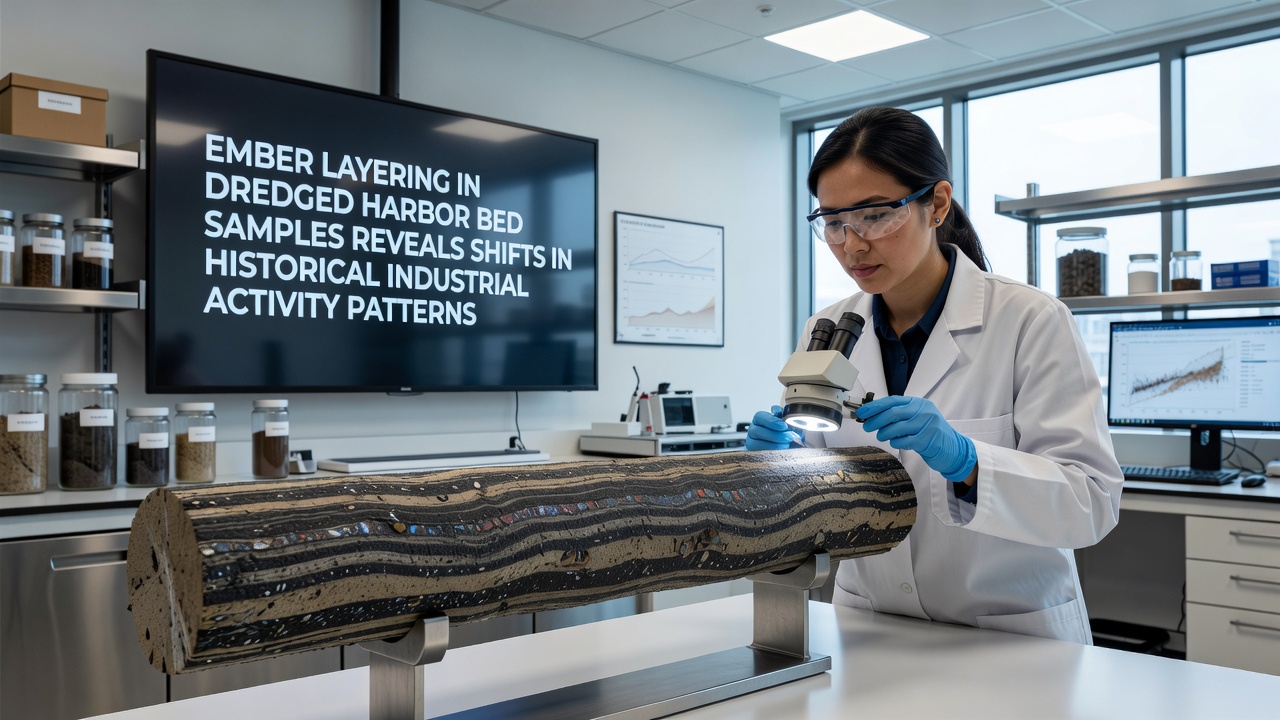
Researchers have turned to ember layering in dredged harbor bed samples to track how industrial activity around protected bays has changed over decades, and the method relies on preserved ash residues that settle in distinct bands within sediment cores. These layers form when combustion byproducts from factories, power plants, and shipping operations wash into sheltered waters and become buried over time, creating a chronological record that scientists can date through chemical signatures and isotopic analysis. Data from multiple coastal sites show clear transitions from heavy coal and oil residues in mid-20th century deposits to lower concentrations of certain heavy metals and polycyclic aromatic hydrocarbons in more recent strata, reflecting regulatory shifts that began in the 1970s and continued into the 2000s.
Sampling methods and layer identification
Teams collect cores during routine dredging operations that maintain navigation channels, then slice the material at millimeter intervals for laboratory examination where they measure particle size, organic carbon content, and trace element ratios to separate industrial embers from natural sediment. Observers note that protected bays with limited tidal flushing tend to accumulate thicker, more continuous ember sequences because reduced water movement allows fine particles to settle without redistribution, and this stability makes the bays especially useful for reconstructing activity timelines. Studies conducted through 2025 documented how a single core can span from the 1940s onward when calibrated against known emission events such as the widespread adoption of scrubbers in the 1990s.
Historical patterns emerging from the layers
Ember sequences around several North American and European bays display a peak in lead and zinc concentrations corresponding to the 1950-1970 period of rapid postwar manufacturing growth, followed by a measurable decline after environmental statutes took effect. Australian researchers working in similar settings have reported parallel drops in sulfur compounds after the introduction of low-sulfur fuel requirements in the early 2000s, and these chemical shifts align with port authority records of changing vessel traffic and fuel standards. One study released in October 2026 examined cores from three protected inlets and found that ember deposition rates fell by roughly 60 percent between 1995 and 2020, while the proportion of finer, more dispersed particles increased, suggesting a move toward cleaner combustion technologies and stricter discharge controls.
But here's the thing: not every bay shows the same rate of change, because local currents, dredging frequency, and proximity to specific facilities create site-specific signatures that complicate broad generalizations. Researchers therefore combine ember data wth historical maps and emission inventories to attribute particular layers to nearby industrial sources, and this cross-referencing strengthens the evidence that activity patterns have shifted from concentrated point sources to more diffuse inputs over the last thirty years.
Implications for monitoring and management
Environmental agencies now incorporate ember layering results into long-term assessments of bay health, using the sediment archive to evaluate whether current protections are sufficient to prevent re-mobilization of older contaminants during future dredging or storm events. National Oceanic and Atmospheric Administration reports emphasize that understanding these historical baselines helps set realistic restoration targets for protected areas where natural recovery rates remain slow. European Environment Agency publications similarly highlight how sediment records can flag emerging concerns, such as the recent uptick in microplastic-associated embers that appear in post-2015 layers around several monitored harbors.
Those who've examined multiple cores observe that protected bays adjacent to former shipyards often retain thicker legacy layers of paint and solvent residues, whereas bays near modern container terminals show thinner, more mixed deposits dominated by exhaust particulates. This contrast illustrates how industrial geography itself has evolved, with manufacturing zones giving way to logistics hubs that generate different ember profiles. Data collected through 2026 continue to refine these distinctions, allowing managers to prioritize sampling locations that capture the most representative records of regional change.
Conclusion
Ember layering analysis of dredged harbor bed samples supplies a tangible archive of industrial transitions around protected bays, and the technique continues to gain acceptance because it draws directly on material already removed during maintenance operations. Continued sampling programs will likely extend these records further into the present decade, providing ongoing evidence of how activity patterns respond to new regulations, technology upgrades, and shifts in maritime commerce. The approach demonstrates that sediment archives remain a practical tool for documenting environmental history without requiring dedicated coring expeditions.