Amir Walter · 4 October 2026
Mapping Ember Fallout Patterns to Enhance Coastal Infrastructure Resilience Strategies
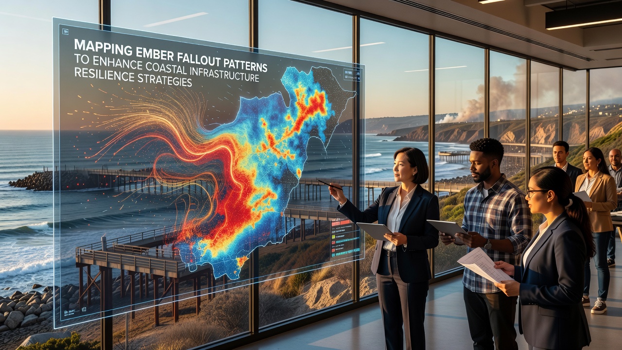
Ember fallout from wildfires travels significant distances and deposits hot particles on coastal infrastructure where it can ignite secondary fires or weaken structural components over time. Researchers track these patterns through satellite observations combined with ground sensor networks that record particle size, temperature, and landing density across harbors, ports, and shoreline facilities. Data collected during major fire seasons shows embers can travel more than 10 kilometers from their origin points when wind speeds exceed 30 kilometers per hour, which directly affects planning for protective barriers and fire-resistant materials in vulnerable zones.
Key Data Collection Methods Used in Pattern Mapping
Teams deploy drones equipped with thermal cameras and LiDAR systems to capture real-time ember trajectories while meteorological stations supply wind vector information that models project forward. These combined datasets feed into geographic information systems that generate layered maps highlighting high-risk corridors along coastlines. According to records maintained by the National Oceanic and Atmospheric Administration, similar mapping exercises conducted in 2024 and 2025 revealed consistent ember concentration zones near estuaries where wind funnels create predictable deposition areas.
Ground validation teams install heat-resistant sensors at intervals of 500 meters along selected coastal transects to verify model accuracy against actual fallout events. The process identifies micro-topography features such as dunes and breakwaters that either deflect or trap embers, which allows planners to prioritize reinforcement at those exact locations rather than applying uniform treatments across entire shorelines.
Integration with Infrastructure Planning Timelines
Coastal authorities incorporate ember fallout maps into long-term resilience budgets that schedule upgrades for piers, seawalls, and utility substations. Engineers adjust material specifications to include ember-resistant coatings on surfaces identified as high-exposure points through the mapping process. In regions where multiple fire seasons overlap with storm surge periods, planners sequence maintenance windows to avoid conflicts between fire protection work and flood defense installations.
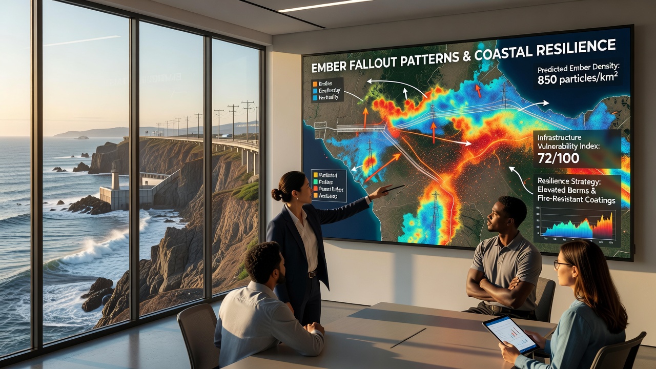
October 2026 marks the scheduled release of updated global ember transport models from the European Centre for Medium-Range Weather Forecasts that will incorporate three additional years of coastal sensor readings from Australia and North America. These revisions will refine wind shear calculations at the land-sea boundary and improve predictions for ember lofting heights that influence how far particles travel before settling.
Regional Examples of Applied Mapping Results
Port authorities in southern California used early versions of these maps to reposition fuel storage tanks away from documented ember corridors after the 2020 fire season deposited particles across multiple terminal areas. Similar adjustments occurred at facilities along the Victorian coastline in Australia where researchers documented ember accumulation near wooden wharf pilings that required replacement with composite materials rated for higher ignition thresholds.
Canadian port operators along the British Columbia coast have begun testing mesh screens designed to intercept airborne embers before they reach electrical substations, with placement guided by the same pattern analysis techniques. These screens reduce direct contact between hot particles and sensitive equipment while allowing normal airflow for cooling purposes.
Conclusion
Continued refinement of ember fallout mapping supports targeted investments in coastal infrastructure that address specific exposure risks rather than broad-brush approaches. The combination of satellite, drone, and ground sensor data creates actionable intelligence that aligns maintenance schedules with seasonal fire patterns and projected changes in wind regimes. As new model releases arrive in October 2026 and beyond, coastal planners gain additional precision for allocating resources across harbors and shoreline facilities where ember impacts intersect with other environmental stresses.